‘Ottawa’ Snow on the Way with Risk of a Freezing Rain Chaser
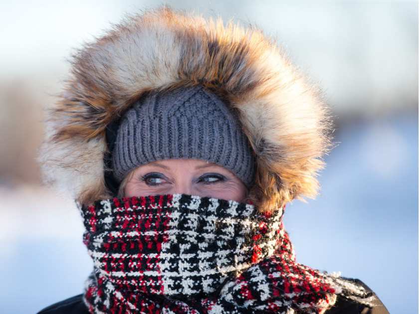

Keep your fingers crossed, Ottawa.
Environment Canada says a”significant precipitation event” may be on the way for Tuesday afternoon or early evening, including a few centimetres of snow and ice pellets followed by “an extended period of freezing rain.”
But “there is still some uncertainty as to the track of the low-pressure area, which will affect how much snow, freezing rain, or rain will fall in a particular location,” according to the special weather statement.
“Hazardous winter travelling conditions can be expected across Southern Ontario.”
For Monday, the weather agency is predicting a mix of sun and cloud then becoming overcast near lunchtime with a 60 per cent chance of afternoon snow and a high of -8C.
Expect 2-4 cm of snow Monday night and a low of -9C.
For Tuesday, the forecast predicts periods of snow changing to ice pellets in the late afternoon with a total accumulation of 2 cm, winds 40 km/h gusting to 60.
The high is expected to be -8C but the mercury is forecast to rise to -2C overnight into Wednesday amid periods of freezing rain or snow.